From Paper Archives to Predictive Power
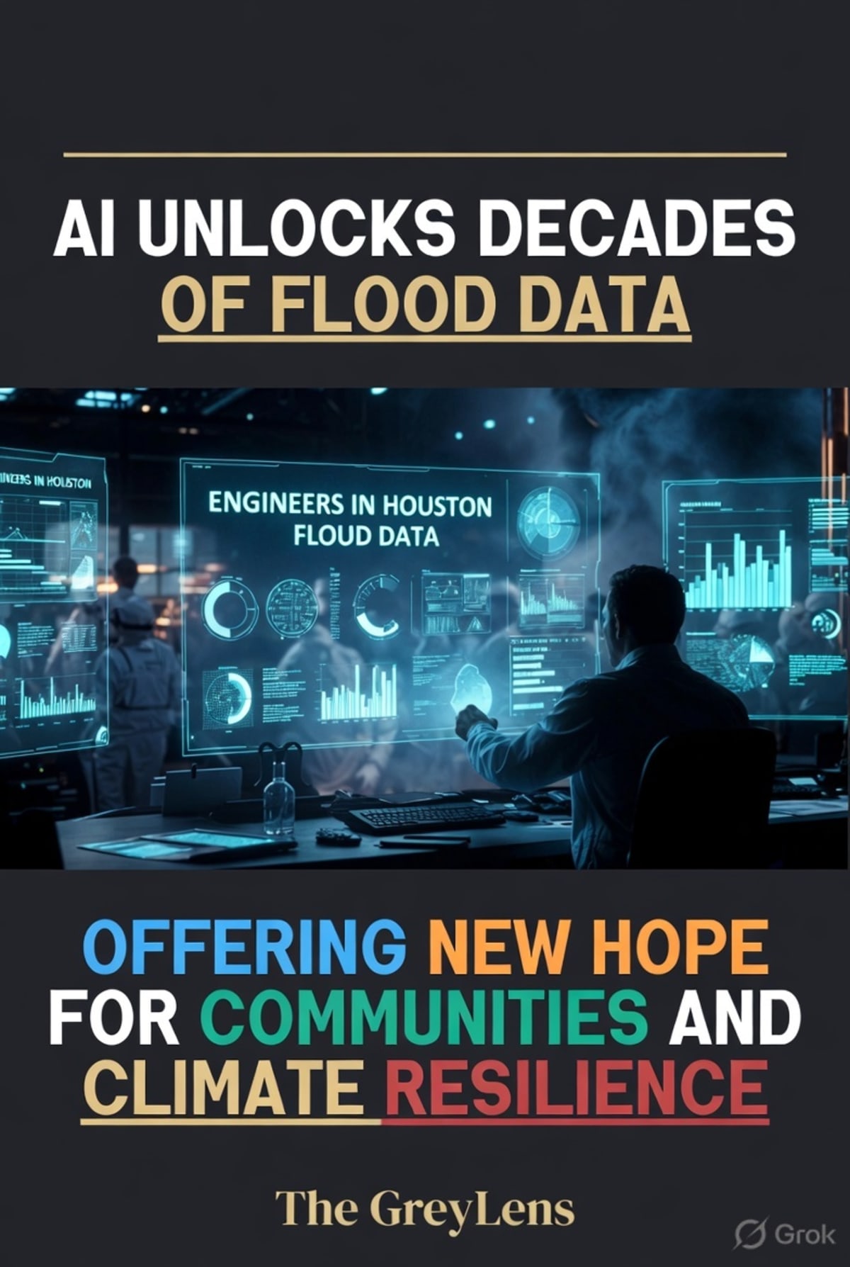
In a significant leap forward for urban planning and disaster preparedness, engineers at the University of Houston have developed an innovative artificial intelligence (AI) framework capable of extracting and georeferencing decades of historical flood risk data from paper maps. This breakthrough, detailed in research published on April 29, 2026, transforms fragile paper records into high-accuracy digital datasets. This allows city planners, researchers, and policymakers to meticulously track how flood risk has shifted over time, a crucial development for a city like Houston, which is among the most flood-prone metropolitan areas in the United States.
The AI-driven approach has been applied to three distinct case studies within the Greater Houston area: Meyerland, Fifth Ward/Kashmere Gardens, and Cypress. The findings reveal a complex and often alarming picture. In two of the studied areas, flood hazards have significantly expanded over the decades, indicating a worsening exposure and vulnerability to flooding. Conversely, one area showed a reduction in identified flood risk, underscoring the localized and dynamic nature of these threats. This level of granular detail, previously locked away in archives, is now accessible for informed decision-making on development, infrastructure upgrades, and emergency response strategies.
Bridging the Gap for Frontline Communities
The implications of this AI-powered analysis are particularly profound for the city's most vulnerable communities. Historically, flood mapping and infrastructure planning have often lagged behind the rapid pace of urban development, leaving certain neighborhoods disproportionately exposed. By unlocking these historical datasets, the University of Houston team, led by researchers like Francisco Haces-Garcia, who earned his doctorate in engineering in 2026, is providing a powerful new tool to identify and address these disparities. The ability to analyze long-term flood trends with such precision is vital for directing resources and interventions to areas that need them most.
This advancement aligns with a broader trend of integrating AI into climate adaptation and disaster response. While many cities are exploring similar data-driven approaches, the challenge often lies in the fragmentation of data infrastructure and the gap between technological potential and equitable deployment. As noted in discussions around AI for climate adaptation, under-resourced agencies and fragmented data can hinder the effectiveness of these tools, particularly for frontline communities facing compounded vulnerabilities. However, this Houston initiative demonstrates a clear path toward leveraging AI to not only understand past risks but to actively build future resilience, ensuring that planning efforts are guided by comprehensive, data-backed insights.
A New Era of Flood Resilience
The University of Houston's work represents a critical step in moving from reactive flood management to proactive, data-informed resilience planning. By making historical flood risk data accessible and actionable, this AI framework empowers stakeholders to make smarter investments in infrastructure, implement targeted mitigation strategies, and ultimately, better protect lives and property. As climate change intensifies weather patterns, making storms more frequent and severe, such technological advancements are not just beneficial—they are essential for safeguarding communities against an increasingly unpredictable future. The insights gleaned from this project are expected to inform future development and emergency preparedness efforts across the region, offering a beacon of hope for enhanced flood resilience.